
Wrightsville Beach topographic map
Interactive map
Click on the map to display elevation.
About this map
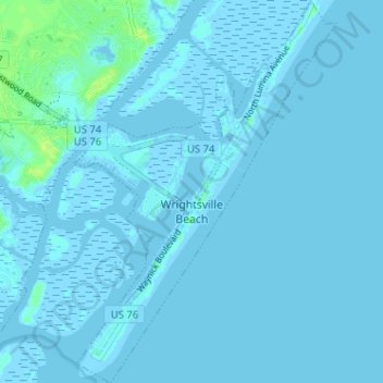
Name: Wrightsville Beach topographic map, elevation, terrain.
Location: Wrightsville Beach, New Hanover County, North Carolina, USA (34.18420 -77.82772 34.23714 -77.77145)
Average elevation: 1 m
Minimum elevation: -4 m
Maximum elevation: 12 m