
Pyeongtaek-si topographic map
Interactive map
Click on the map to display elevation.
About this map
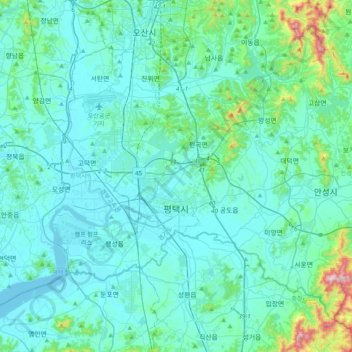
Name: Pyeongtaek-si topographic map, elevation, terrain.
Location: Pyeongtaek-si, Gyeonggi-do, South Korea (36.89760 126.76073 37.14470 127.15392)
Average elevation: 59 m
Minimum elevation: -3 m
Maximum elevation: 525 m