
Thank you for supporting this site ❤️
Make a donation
Make a donation
Wade Brook topographic map
Click on the map to display elevation.
Thank you for supporting this site ❤️
Make a donation
Make a donation
About this map
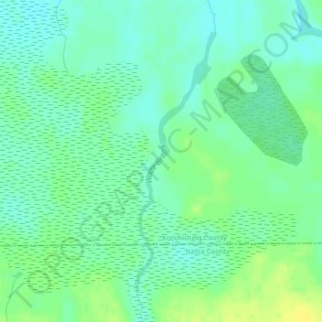
Name: Wade Brook topographic map, elevation, terrain.
Location: Wade Brook, Koochiching County, Minnesota, United States (47.84574 -93.81281 47.86727 -93.80307)
Average elevation: 406 m
Minimum elevation: 398 m
Maximum elevation: 417 m
Thank you for supporting this site ❤️
Make a donation
Make a donation