
Thank you for supporting this site ❤️
Make a donation
Make a donation
Dunreith topographic map
Click on the map to display elevation.
Thank you for supporting this site ❤️
Make a donation
Make a donation
About this map
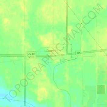
Name: Dunreith topographic map, elevation, terrain.
Location: Dunreith, Henry County, Indiana, 47337, United States (39.80028 -85.44145 39.80507 -85.43123)
Average elevation: 317 m
Minimum elevation: 305 m
Maximum elevation: 324 m
Thank you for supporting this site ❤️
Make a donation
Make a donation
Other topographic maps
Click on a map to view its topography, its elevation and its terrain.