
Pasir Lugay topographic map
Interactive map
Click on the map to display elevation.
About this map
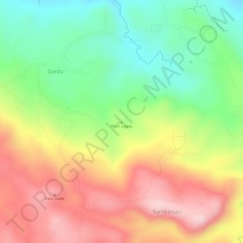
Name: Pasir Lugay topographic map, elevation, terrain.
Location: Pasir Lugay, Gardu, West Java, 41175, Indonesia (-6.63811 107.55162 -6.63801 107.55172)
Average elevation: 483 m
Minimum elevation: 345 m
Maximum elevation: 621 m