
Thank you for supporting this site ❤️
Make a donation
Make a donation
Pocahontas topographic map
Click on the map to display elevation.
Thank you for supporting this site ❤️
Make a donation
Make a donation
About this map
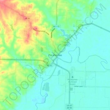
Name: Pocahontas topographic map, elevation, terrain.
Location: Pocahontas, Randolph County, Arkansas, 72455, United States (36.22122 -91.01110 36.30122 -90.93110)
Average elevation: 94 m
Minimum elevation: 73 m
Maximum elevation: 152 m
Thank you for supporting this site ❤️
Make a donation
Make a donation