
Thank you for supporting this site ❤️
Make a donation
Make a donation
Bure topographic map
Click on the map to display elevation.
Thank you for supporting this site ❤️
Make a donation
Make a donation
About this map
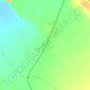
Name: Bure topographic map, elevation, terrain.
Location: Bure, Zone 1, Afar Region, Ethiopia (12.58097 42.24984 12.62097 42.28984)
Average elevation: 509 m
Minimum elevation: 485 m
Maximum elevation: 549 m
Thank you for supporting this site ❤️
Make a donation
Make a donation
Other topographic maps
Click on a map to view its topography, its elevation and its terrain.