
Thank you for supporting this site ❤️
Make a donation
Make a donation
Drakenburg topographic map
Click on the map to display elevation.
Thank you for supporting this site ❤️
Make a donation
Make a donation
About this map
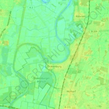
Name: Drakenburg topographic map, elevation, terrain.
Average elevation: 24 m
Minimum elevation: 16 m
Maximum elevation: 30 m
Thank you for supporting this site ❤️
Make a donation
Make a donation
Other topographic maps
Click on a map to view its topography, its elevation and its terrain.
Pennigsehl
Deutschland > Niedersachsen > Landkreis Nienburg/Weser > Pennigsehl > Pennigsehl
Average elevation: 54 m
Thank you for supporting this site ❤️
Make a donation
Make a donation
Thank you for supporting this site ❤️
Make a donation
Make a donation
Haßberger Hauptgraben
Deutschland > Niedersachsen > Landkreis Nienburg/Weser > Gandesbergen
Average elevation: 22 m
Thank you for supporting this site ❤️
Make a donation
Make a donation