
Luža topographic map
Interactive map
Click on the map to display elevation.
About this map
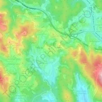
Name: Luža topographic map, elevation, terrain.
Location: Luža, Jugovzhodna Slovenija, 8211, Eslovénia (45.88398 14.93603 45.92398 14.97603)
Average elevation: 328 m
Minimum elevation: 242 m
Maximum elevation: 472 m