
Bagenkop topographic map
Interactive map
Click on the map to display elevation.
About this map
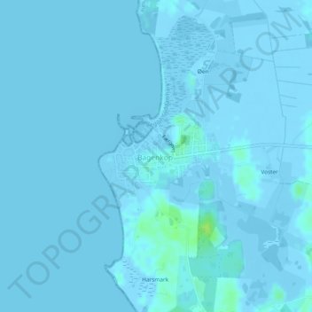
Name: Bagenkop topographic map, elevation, terrain.
Location: Bagenkop, Langeland Kommune, Region Süddänemark, Dänemark (54.74599 10.66763 54.75321 10.68569)
Average elevation: 0 m
Minimum elevation: -7 m
Maximum elevation: 12 m