
Thank you for supporting this site ❤️
Make a donation
Make a donation
Chyupar Khola topographic map
Click on the map to display elevation.
Thank you for supporting this site ❤️
Make a donation
Make a donation
About this map
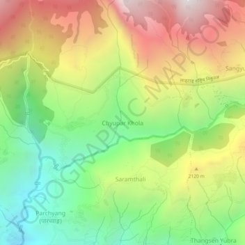
Name: Chyupar Khola topographic map, elevation, terrain.
Location: Chyupar Khola, Naukunda, Rasuwa, Bagmati Province, Nepal (28.00685 85.26696 28.04685 85.30696)
Average elevation: 1,896 m
Minimum elevation: 1,092 m
Maximum elevation: 2,894 m
Thank you for supporting this site ❤️
Make a donation
Make a donation