
Thank you for supporting this site ❤️
Make a donation
Make a donation
Chalk Hill topographic map
Click on the map to display elevation.
Thank you for supporting this site ❤️
Make a donation
Make a donation
About this map
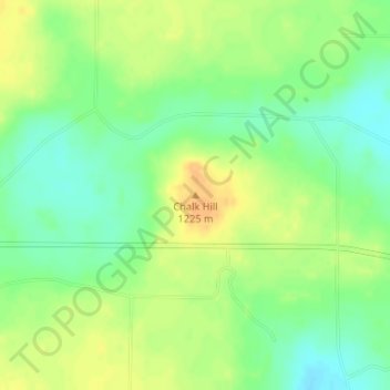
Name: Chalk Hill topographic map, elevation, terrain.
Location: Chalk Hill, Deaf Smith County, Texas, United States (34.83224 -102.63887 34.83234 -102.63877)
Average elevation: 1,211 m
Minimum elevation: 1,195 m
Maximum elevation: 1,227 m
Thank you for supporting this site ❤️
Make a donation
Make a donation
Other topographic maps
Click on a map to view its topography, its elevation and its terrain.