
Haddix topographic map
Interactive map
Click on the map to display elevation.
About this map
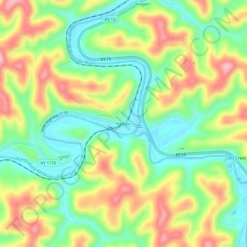
Name: Haddix topographic map, elevation, terrain.
Location: Haddix, Breathitt County, Kentucky, United States (37.46731 -83.36823 37.50731 -83.32823)
Average elevation: 295 m
Minimum elevation: 220 m
Maximum elevation: 394 m
Other topographic maps
Click on a map to view its topography, its elevation and its terrain.
Canoe
United States > Kentucky > Breathitt County
Canoe, Breathitt County, Kentucky, United States
Average elevation: 299 m
Breathitt County
United States > Kentucky > Breathitt County
Breathitt County, Kentucky, United States
Average elevation: 341 m