
Thank you for supporting this site ❤️
Make a donation
Make a donation
Gun Barrel City topographic map
Click on the map to display elevation.
Thank you for supporting this site ❤️
Make a donation
Make a donation
About this map
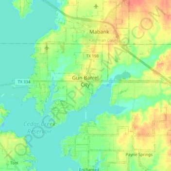
Name: Gun Barrel City topographic map, elevation, terrain.
Location: Gun Barrel City, Henderson County, Texas, United States (32.30031 -96.17526 32.35504 -96.03002)
Average elevation: 109 m
Minimum elevation: 94 m
Maximum elevation: 136 m
Thank you for supporting this site ❤️
Make a donation
Make a donation