
Cà Balbi topographic map
Interactive map
Click on the map to display elevation.
About this map
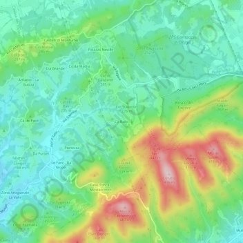
Name: Cà Balbi topographic map, elevation, terrain.
Location: Cà Balbi, Monfumo, Fonte, Treviso, Veneto, 31034, Italia (45.81552 11.93780 45.85552 11.97780)
Average elevation: 238 m
Minimum elevation: 128 m
Maximum elevation: 475 m