
Thank you for supporting this site ❤️
Make a donation
Make a donation
Pacita topographic map
Click on the map to display elevation.
Thank you for supporting this site ❤️
Make a donation
Make a donation
About this map
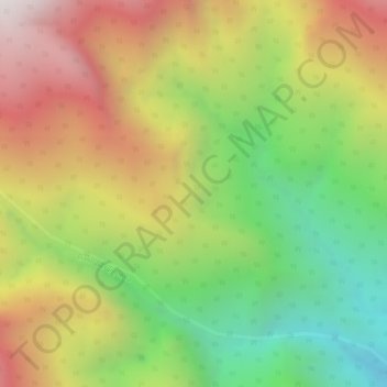
Name: Pacita topographic map, elevation, terrain.
Location: Pacita, Simacota, Comunera, Santander, Colombia (6.47573 -73.43259 6.49573 -73.41259)
Average elevation: 2,361 m
Minimum elevation: 1,803 m
Maximum elevation: 2,908 m
Thank you for supporting this site ❤️
Make a donation
Make a donation