
Thank you for supporting this site ❤️
Make a donation
Make a donation
Rappahannock River topographic map
Click on the map to display elevation.
Thank you for supporting this site ❤️
Make a donation
Make a donation
About this map
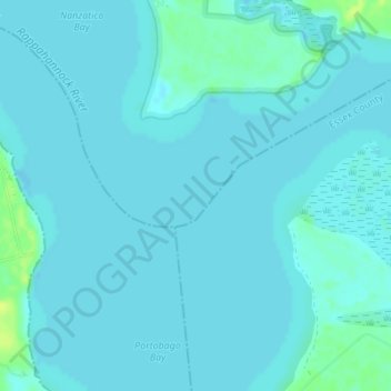
Name: Rappahannock River topographic map, elevation, terrain.
Location: Rappahannock River, King George County, Virginia, USA (38.14980 -77.11597 38.15406 -77.11029)
Average elevation: 3 m
Minimum elevation: -1 m
Maximum elevation: 15 m
Thank you for supporting this site ❤️
Make a donation
Make a donation