
Thank you for supporting this site ❤️
Make a donation
Make a donation
O'Donnell topographic map
Click on the map to display elevation.
Thank you for supporting this site ❤️
Make a donation
Make a donation
About this map
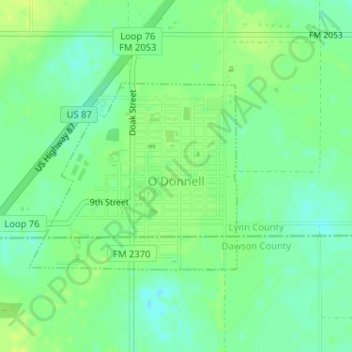
Name: O'Donnell topographic map, elevation, terrain.
Location: O'Donnell, Lynn County, Texas, United States (32.95866 -101.84208 32.97302 -101.82306)
Average elevation: 929 m
Minimum elevation: 920 m
Maximum elevation: 936 m
Thank you for supporting this site ❤️
Make a donation
Make a donation
Other topographic maps
Click on a map to view its topography, its elevation and its terrain.