
Henne Strand topographic map
Interactive map
Click on the map to display elevation.
About this map
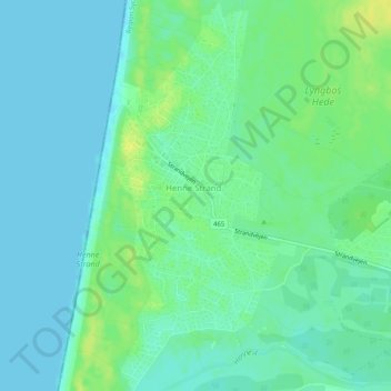
Name: Henne Strand topographic map, elevation, terrain.
Location: Henne Strand, Varde Kommune, Region Süddänemark, Dänemark (55.72307 8.17261 55.75154 8.19611)
Average elevation: 7 m
Minimum elevation: -1 m
Maximum elevation: 19 m