
Thank you for supporting this site ❤️
Make a donation
Make a donation
Temple topographic map
Click on the map to display elevation.
Thank you for supporting this site ❤️
Make a donation
Make a donation
About this map
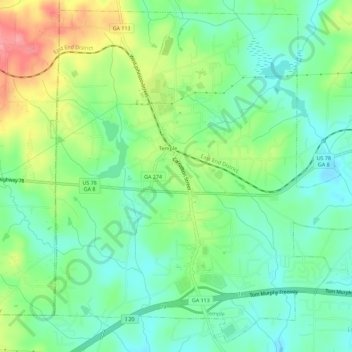
Name: Temple topographic map, elevation, terrain.
Location: Temple, Carroll County, Georgia, United States (33.71102 -85.05135 33.75544 -84.99462)
Average elevation: 347 m
Minimum elevation: 314 m
Maximum elevation: 407 m
Thank you for supporting this site ❤️
Make a donation
Make a donation
Other topographic maps
Click on a map to view its topography, its elevation and its terrain.