
Thank you for supporting this site ❤️
Make a donation
Make a donation
Hogenset topographic map
Click on the map to display elevation.
Thank you for supporting this site ❤️
Make a donation
Make a donation
About this map
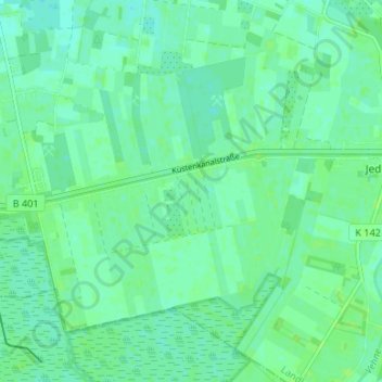
Name: Hogenset topographic map, elevation, terrain.
Average elevation: 7 m
Minimum elevation: 3 m
Maximum elevation: 11 m
Thank you for supporting this site ❤️
Make a donation
Make a donation
Other topographic maps
Click on a map to view its topography, its elevation and its terrain.
26188
Deutschland > Niedersachsen > Landkreis Ammerland > Edewecht > Jeddeloh I
Average elevation: 8 m