
San Isidro topographic map
Interactive map
Click on the map to display elevation.
About this map
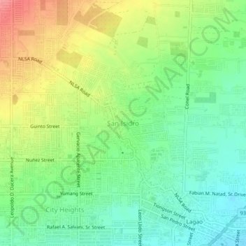
Name: San Isidro topographic map, elevation, terrain.
Location: San Isidro, General Santos, Soccsksargen, 9500, Philippines (6.12407 125.15869 6.16407 125.19869)
Average elevation: 48 m
Minimum elevation: 15 m
Maximum elevation: 96 m