
Thank you for supporting this site ❤️
Make a donation
Make a donation
Dolores topographic map
Click on the map to display elevation.
Thank you for supporting this site ❤️
Make a donation
Make a donation
About this map
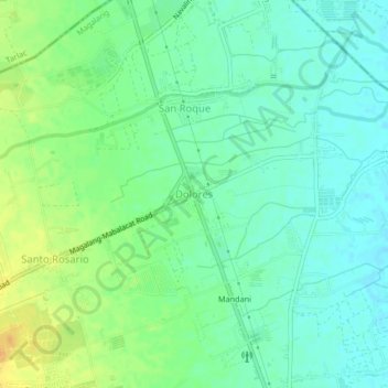
Name: Dolores topographic map, elevation, terrain.
Location: Dolores, Magalang, Central Luzon, 2011, Philippines (15.23147 120.63203 15.27147 120.67203)
Average elevation: 41 m
Minimum elevation: 29 m
Maximum elevation: 60 m
Thank you for supporting this site ❤️
Make a donation
Make a donation