
Ardeilhou topographic map
Interactive map
Click on the map to display elevation.
About this map
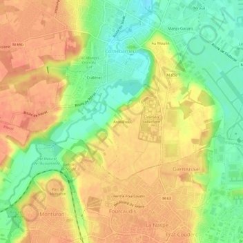
Name: Ardeilhou topographic map, elevation, terrain.
Average elevation: 167 m
Minimum elevation: 138 m
Maximum elevation: 188 m
Other topographic maps
Click on a map to view its topography, its elevation and its terrain.
Au Moulin
France > Occitanie > Haute-Garonne > Cornebarrieu
Au Moulin, Cornebarrieu, Toulouse, Haute-Garonne, Occitanie, France métropolitaine, 31700, France
Average elevation: 157 m