
Thank you for supporting this site ❤️
Make a donation
Make a donation
Jackson topographic map
Click on the map to display elevation.
Thank you for supporting this site ❤️
Make a donation
Make a donation
About this map
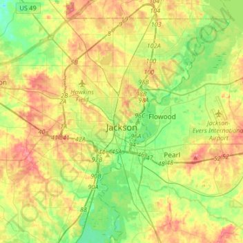
Name: Jackson topographic map, elevation, terrain.
Location: Jackson, Hinds County, Mississippi, United States (32.19550 -90.32993 32.41244 -90.06362)
Average elevation: 96 m
Minimum elevation: 61 m
Maximum elevation: 140 m
Thank you for supporting this site ❤️
Make a donation
Make a donation