
Windwhistle topographic map
Click on the map to display elevation.
About this map
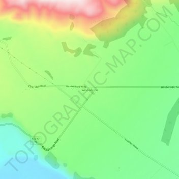
Name: Windwhistle topographic map, elevation, terrain.
Location: Windwhistle, Selwyn District, Canterbury, New Zealand (-43.53496 171.69195 -43.49496 171.73195)
Average elevation: 434 m
Minimum elevation: 251 m
Maximum elevation: 736 m
Selwyn District trails, hiking, mountain biking, running and outdoor activities
Other topographic maps
Click on a map to view its topography, its elevation and its terrain.