
Knockgriffin (Imokilly) topographic map
Interactive map
Click on the map to display elevation.
About this map
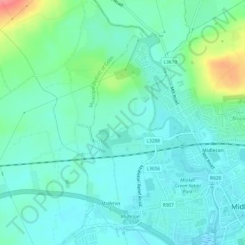
Name: Knockgriffin (Imokilly) topographic map, elevation, terrain.
Average elevation: 20 m
Minimum elevation: 1 m
Maximum elevation: 83 m
Other topographic maps
Click on a map to view its topography, its elevation and its terrain.
Queenstown No 1
Queenstown No 1, Municipal District of Cobh, County Cork, Munster, Ireland
Average elevation: 22 m
Ballyguyroe South
Ireland > County Cork > Ballyguyroe South
Ballyguyroe South, Farahy, The Municipal District of Fermoy, County Cork, Munster, Ireland
Average elevation: 95 m
Blarney - Macroom
Ireland > County Cork > Blarney - Macroom
Blarney - Macroom, County Cork, Munster, Ireland
Average elevation: 161 m