
Thank you for supporting this site ❤️
Make a donation
Make a donation
Vilar de Perdizes topographic map
Click on the map to display elevation.
Thank you for supporting this site ❤️
Make a donation
Make a donation
About this map
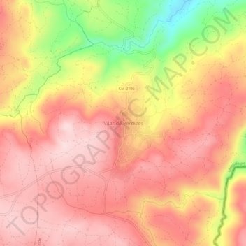
Name: Vilar de Perdizes topographic map, elevation, terrain.
Location: Vilar de Perdizes, Montalegre, Vila Real, Portugal (41.83587 -7.65431 41.87587 -7.61431)
Average elevation: 772 m
Minimum elevation: 580 m
Maximum elevation: 869 m
Thank you for supporting this site ❤️
Make a donation
Make a donation
Other topographic maps
Click on a map to view its topography, its elevation and its terrain.