
Thank you for supporting this site ❤️
Make a donation
Make a donation
Bellmuth topographic map
Click on the map to display elevation.
Thank you for supporting this site ❤️
Make a donation
Make a donation
About this map
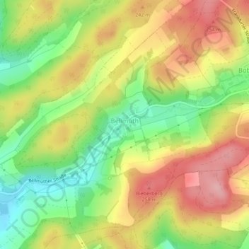
Name: Bellmuth topographic map, elevation, terrain.
Location: Bellmuth, Ranstadt, Wetteraukreis, Hesse, Germany (50.35424 9.00611 50.37644 9.03242)
Average elevation: 206 m
Minimum elevation: 133 m
Maximum elevation: 275 m
Thank you for supporting this site ❤️
Make a donation
Make a donation
Other topographic maps
Click on a map to view its topography, its elevation and its terrain.