
Thank you for supporting this site ❤️
Make a donation
Make a donation
Houten topographic map
Click on the map to display elevation.
Thank you for supporting this site ❤️
Make a donation
Make a donation
Houten
De volgende straten, lanen, pleinen, parken en andere topografische aanduidingen hebben een eigen artikel op Wikipedia.
Thank you for supporting this site ❤️
Make a donation
Make a donation
About this map
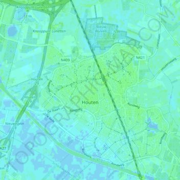
Name: Houten topographic map, elevation, terrain.
Location: Houten, Utrecht, Nederland (52.00473 5.12177 52.05676 5.20353)
Average elevation: 2 m
Minimum elevation: -4 m
Maximum elevation: 6 m
Thank you for supporting this site ❤️
Make a donation
Make a donation
Other topographic maps
Click on a map to view its topography, its elevation and its terrain.