
Pit-os topographic map
Click on the map to display elevation.
About this map
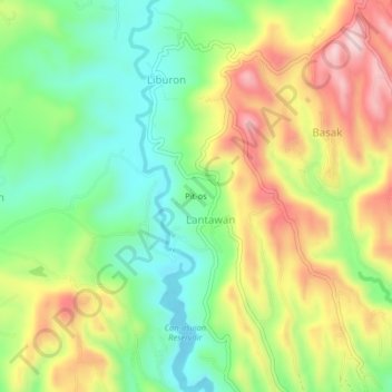
Name: Pit-os topographic map, elevation, terrain.
Location: Pit-os, Carcar, Cebu, Central Visayas, 6018, Philippines (10.15191 123.63214 10.19191 123.67214)
Average elevation: 190 m
Minimum elevation: 48 m
Maximum elevation: 384 m