
Nellis Air Force Base topographic map
Interactive map
Click on the map to display elevation.
About this map
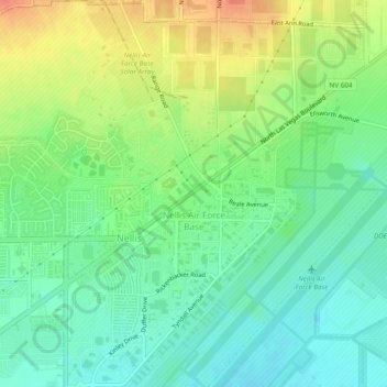
Name: Nellis Air Force Base topographic map, elevation, terrain.
Average elevation: 579 m
Minimum elevation: 556 m
Maximum elevation: 610 m
Other topographic maps
Click on a map to view its topography, its elevation and its terrain.
Cougar Creek Park
United States > Nevada > Clark County > Las Vegas > Enterprise
Average elevation: 771 m