
Thank you for supporting this site ❤️
Make a donation
Make a donation
Grove Hill topographic map
Click on the map to display elevation.
Thank you for supporting this site ❤️
Make a donation
Make a donation
About this map
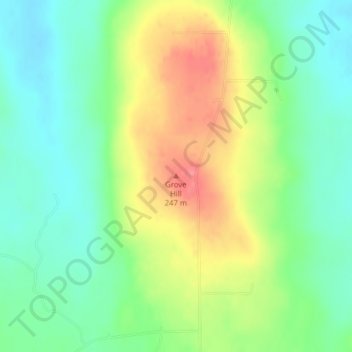
Name: Grove Hill topographic map, elevation, terrain.
Location: Grove Hill, Masardis, Aroostook County, Maine, United States (46.54666 -68.40842 46.54676 -68.40832)
Average elevation: 205 m
Minimum elevation: 174 m
Maximum elevation: 252 m
Thank you for supporting this site ❤️
Make a donation
Make a donation