
Třinec topographic map
Interactive map
Click on the map to display elevation.
About this map
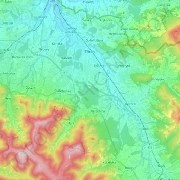
Name: Třinec topographic map, elevation, terrain.
Average elevation: 487 m
Minimum elevation: 279 m
Maximum elevation: 1,071 m
The name Třinec is of topographic origin, derived from the Slavic word for reed (Polish: trzcina, Czech: třtina).