
Ain topographic map
Interactive map
Click on the map to display elevation.
About this map
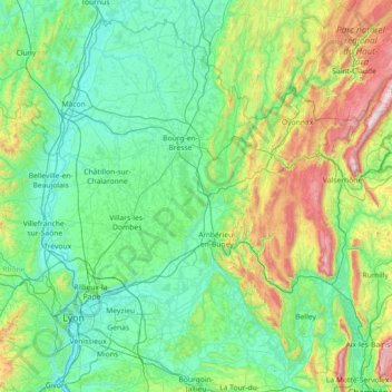
Name: Ain topographic map, elevation, terrain.
Location: Ain, Auvergne-Rhône-Alpes, França metropolitana, França (45.61076 4.72817 46.51990 6.17003)
Average elevation: 418 m
Minimum elevation: 151 m
Maximum elevation: 1,697 m
Other topographic maps
Click on a map to view its topography, its elevation and its terrain.