
Jomolhari topographic map
Interactive map
Click on the map to display elevation.
About this map
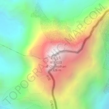
Name: Jomolhari topographic map, elevation, terrain.
Location: Jomolhari, Tüna, Yadong County, Shigatse, Tibet, PRC (27.82737 89.26737 27.82747 89.26747)
Average elevation: 6,243 m
Minimum elevation: 5,499 m
Maximum elevation: 7,296 m