
Carrefour Paulet topographic map
Interactive map
Click on the map to display elevation.
About this map
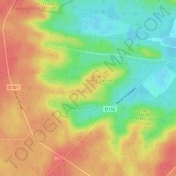
Name: Carrefour Paulet topographic map, elevation, terrain.
Average elevation: 110 m
Minimum elevation: 79 m
Maximum elevation: 136 m
Other topographic maps
Click on a map to view its topography, its elevation and its terrain.
Carrefour de la Croix Saint-Jacques
França > Ilha de França > Fontainebleau
Carrefour de la Croix Saint-Jacques, Fontainebleau, Seine-et-Marne, Ilha de França, França metropolitana, 77300, França
Average elevation: 87 m