
Thank you for supporting this site ❤️
Make a donation
Make a donation
Skagit River topographic map
Click on the map to display elevation.
Thank you for supporting this site ❤️
Make a donation
Make a donation
About this map
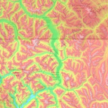
Name: Skagit River topographic map, elevation, terrain.
Location: Skagit River, Whatcom County, Washington, United States (48.60276 -121.36148 49.22222 -120.87638)
Average elevation: 1,391 m
Minimum elevation: 131 m
Maximum elevation: 2,686 m
Thank you for supporting this site ❤️
Make a donation
Make a donation
Other topographic maps
Click on a map to view its topography, its elevation and its terrain.