
Coes Creek topographic map
Interactive map
Click on the map to display elevation.
About this map
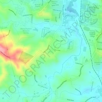
Name: Coes Creek topographic map, elevation, terrain.
Location: Coes Creek, Sunshine Coast Regional, Queensland, Australia (-26.65856 152.93156 -26.63922 152.95587)
Average elevation: 41 m
Minimum elevation: 5 m
Maximum elevation: 128 m
Other topographic maps
Click on a map to view its topography, its elevation and its terrain.
Koala Park Bushland Conservation Reserve
Australia > Queensland > Sunshine Coast Regional > Nambour
Average elevation: 35 m