
Karnes County topographic map
Interactive map
Click on the map to display elevation.
About this map
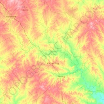
Name: Karnes County topographic map, elevation, terrain.
Location: Karnes County, Texas, United States of America (28.66814 -98.19093 29.22150 -97.57458)
Average elevation: 114 m
Minimum elevation: 51 m
Maximum elevation: 183 m
Other topographic maps
Click on a map to view its topography, its elevation and its terrain.
Lake Medina Highlands
United States of America > Texas > Lakehills > Lake Medina Highlands
Average elevation: 344 m