Geolocate

Eastern District topographic map

Interactive map

Click on the map to display elevation.

About this map

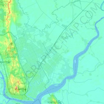
Name: Eastern District topographic map, elevation, terrain.

Location: Eastern District, Yangon, Myanmar (16.75767 96.14257 17.02341 96.36881)

Average elevation: 7 m

Minimum elevation: -2 m

Maximum elevation: 65 m

Other topographic maps

Click on a map to view its topography, its elevation and its terrain.

Yangon

Myanmar > Yangon > Yangon

Mayangone, Northern District, Yangon, Myanmar

Average elevation: 12 m

Yangon

Myanmar > Yangon > Yangon

Botahtaung, Eastern District, Yangon, 11162, Myanmar

Average elevation: 6 m