
Sørbreen topographic map
Interactive map
Click on the map to display elevation.
About this map
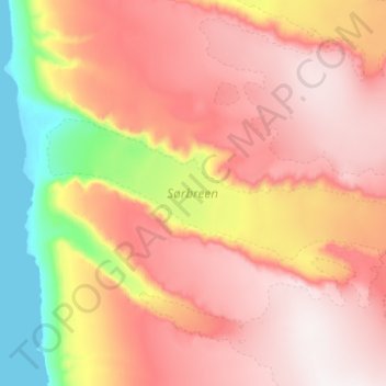
Name: Sørbreen topographic map, elevation, terrain.
Location: Sørbreen, Svalbard, Norway (79.46999 15.89247 79.50449 16.38709)
Average elevation: 521 m
Minimum elevation: -1 m
Maximum elevation: 965 m