
Tashkent topographic map
Interactive map
Click on the map to display elevation.
About this map
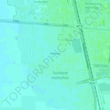
Name: Tashkent topographic map, elevation, terrain.
Location: Tashkent, Mirzaobod Tumani, Sirdaryo Region, Uzbekistan (40.47225 68.74704 40.48849 68.77065)
Average elevation: 274 m
Minimum elevation: 271 m
Maximum elevation: 277 m