
Thank you for supporting this site ❤️
Make a donation
Make a donation
San Fernando topographic map
Click on the map to display elevation.
Thank you for supporting this site ❤️
Make a donation
Make a donation
About this map
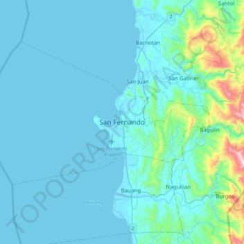
Name: San Fernando topographic map, elevation, terrain.
Location: San Fernando, La Union, Ilocos Region, 2500, Philippines (16.45627 120.15710 16.77627 120.47710)
Average elevation: 81 m
Minimum elevation: -1 m
Maximum elevation: 874 m
Thank you for supporting this site ❤️
Make a donation
Make a donation