
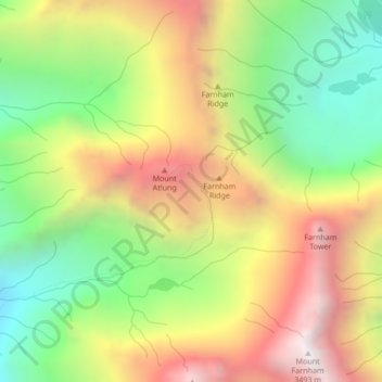
Area G (Forster Creek/Mount Assiniboine) topographic map
Interactive map
Click on the map to display elevation.
Area G (Forster Creek/Mount Assiniboine) topographic map, elevation, terrain
About this map
Name: Area G (Forster Creek/Mount Assiniboine) topographic map, elevation, terrain.
Average elevation: 2,710 m
Minimum elevation: 2,056 m
Maximum elevation: 3,454 m
Other topographic maps
Click on a map to view its topography, its elevation and its terrain.