
Lißberg topographic map
Interactive map
Click on the map to display elevation.
About this map
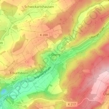
Name: Lißberg topographic map, elevation, terrain.
Location: Lißberg, Ortenberg, Wetteraukreis, Hessen, 63683, Deutschland (50.35588 9.06385 50.39588 9.10385)
Average elevation: 242 m
Minimum elevation: 101 m
Maximum elevation: 355 m
Die Statistisch-topographisch-historische Beschreibung des Großherzogthums Hessen berichtet 1830 über Lißberg: