
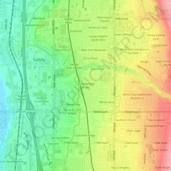
Sandy Heights South topographic map
Interactive map
Click on the map to display elevation.
About this map
Name: Sandy Heights South topographic map, elevation, terrain.
Average elevation: 1,371 m
Minimum elevation: 1,313 m
Maximum elevation: 1,443 m
Other topographic maps
Click on a map to view its topography, its elevation and its terrain.
Torry Pines
United States > Utah > Salt Lake County > Sandy
Torry Pines, Sandy, Salt Lake County, Utah, 84070, United States
Average elevation: 1,373 m