
Thank you for supporting this site ❤️
Make a donation
Make a donation
Lockesburg topographic map
Click on the map to display elevation.
Thank you for supporting this site ❤️
Make a donation
Make a donation
About this map
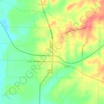
Name: Lockesburg topographic map, elevation, terrain.
Location: Lockesburg, Sevier County, Arkansas, United States (33.96030 -94.20720 33.98267 -94.15262)
Average elevation: 123 m
Minimum elevation: 92 m
Maximum elevation: 159 m
Thank you for supporting this site ❤️
Make a donation
Make a donation