
Thank you for supporting this site ❤️
Make a donation
Make a donation
Dunnell topographic map
Click on the map to display elevation.
Thank you for supporting this site ❤️
Make a donation
Make a donation
About this map
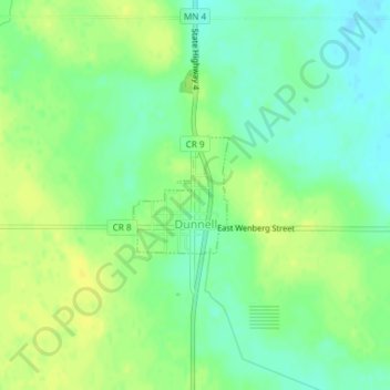
Name: Dunnell topographic map, elevation, terrain.
Location: Dunnell, Martin County, Minnesota, United States (43.55735 -94.78037 43.56540 -94.77125)
Average elevation: 403 m
Minimum elevation: 392 m
Maximum elevation: 413 m
Thank you for supporting this site ❤️
Make a donation
Make a donation