
villege topographic map
Interactive map
Click on the map to display elevation.
About this map
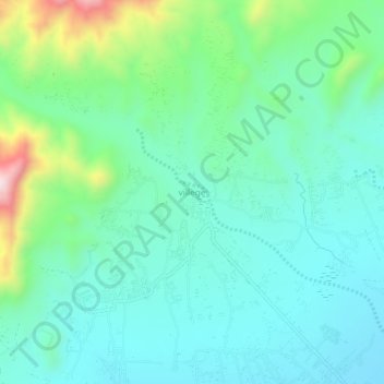
Name: villege topographic map, elevation, terrain.
Location: villege, Nadir Shah Kot, Khost Province, Afghanistan (33.35444 69.72149 33.39444 69.76149)
Average elevation: 1,482 m
Minimum elevation: 1,370 m
Maximum elevation: 1,852 m